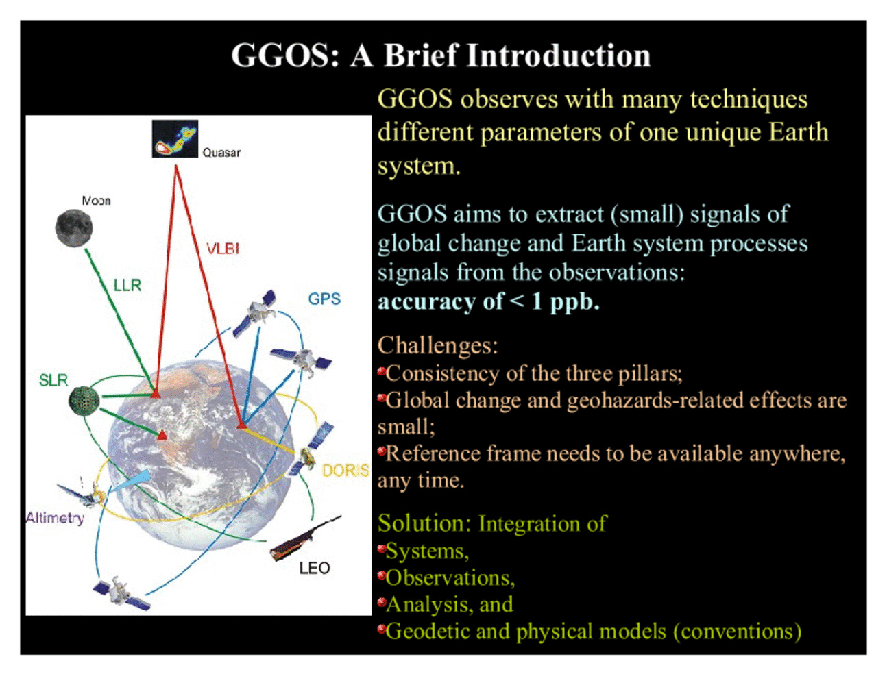
As we already saw, GGOS utilizes a number of techniques that are all linked together through the fact that they observe different overlapping parts of the a unique object, that is the Earth system. A main goal of GGOS is to extract from these observations signals related to Earth system processes and global change. Because these signals are very small, the accuracy requirements for GGOS are demanding, and in many cases turn out to be less than 1 ppb.
In achieving this accuracy, GGOS faces a number of challenges, including the consistency both within each of the three pillars but even more so across these pillars, and the stability and accuracy of the underlying combined geometric and gravimetric reference frame.
The solution to these challenges as currently seen in GGOS is a better integration on several levels. Integration of the techniques to collocation and both on ground and in space will strengthen the techniques and help to identify individual technique-specific biases. Integration of observations from different techniques will help to overcome inherent limitations of techniques and exploit the 'one-object' concept. Integration of analysis will ensure that the analysis is consistent in terms of conventions and standards and also strengthen the analysis with respect to a broader observational basis. Finally, integration of the geodetic and geophysical models will allow us to take into account more of the interactions between the different processes in atmosphere, ocean and solid Earth, which impact geodetic observations at the target accuracy and can no longer be neglected.